Regions Across the Philippines
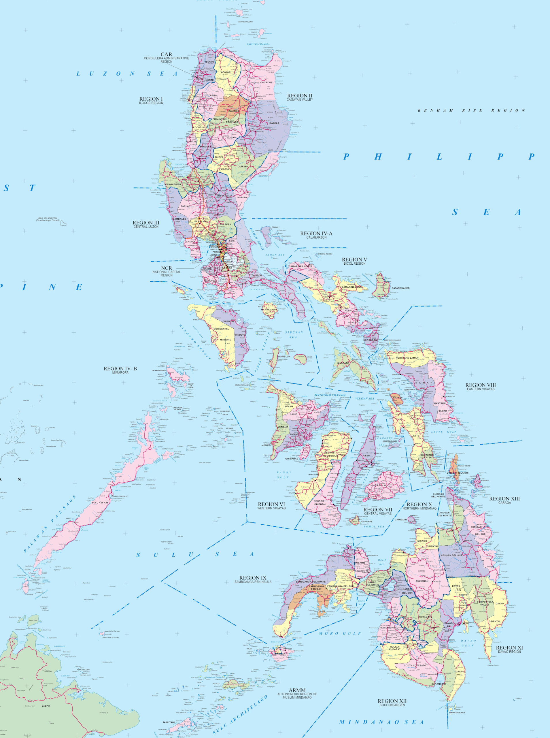
The Philippines is comprised of over 7,500 islands with about 400 recently added by NMARIA. The three main geographical areas are Luzon, Visayas and Mindanao. The Luzon area includes the largest island Luzon and other islands in the northern part of the country. The Visayas are in the middle of the country while Mindanao includes the second largest island, Mindanao and surrounding islands.
Each area is made up of several official regions which are listed below. Each region in turn comprises several provinces. Details on each of the Philippine regions can be found below.
Luzon
 Bicol (Region V) The Bicol Region (Region V) is located in in the southern part of the Luzon group of islands. It is made up of six provinces, four on the Bicol Peninsula (Albay, Camarines Norte, Camarines Sur, and Sorsogon) and the offshore provinces of Catanduanes and Masbate. Home for Mount Mayon, an… …
 Cagayan Valley (Region II) The Cagayan Valley (Region II) is made up of the provinces of Cagayan, Isabela, Nueva Vizcaya, Quirino, and the Batanes group of islands. It is bordered to the west by the Cordillera mountain range, to the east by the Sierra Madre, to the south by the Caraballo Mountains, and to… …
 Calabarzon (Region IV-A) Calabarzon (Region IV-A) was previously called the Southern Tagalog Region. It is made up of five provinces: CAvite, LAguna, BAtangas, Rizal, and QueZON. It is located southease of Metro Manila and is bordered by Manila Bay to the west, Lamon Bay and the Bicol Region to the east, the Tayabas… …
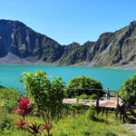 Central Luzon (Region III) Central Luzon (Region III) is located north of Metro Manila on the main island of Luzon. It includes the provinces of Aurora, Bataan, Bulacan, Nueva Ecija, Pampanga, Tarlac and Zambales. Towering mountains, volcanos, lush farmlands, natural sea harbors and more can be found here. …
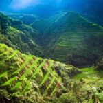 Cordillera (CAR / Cordillera Administrative Region) The Cordillera Administrative Region (CAR) is also known as the Cordillera Region and Cordillera. It is the only landlocked region in the country, bordered by the Ilocos Region to the west and southwest, and by the Cagayan Valley Region to the north, east, and southeast. It is the least populous… …
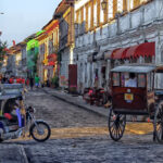 Ilocos (Region I) Ilocos (Region I) lies on the northwestern section of Luzon. It also straddles part of the Central Luzon plain, primarily in Pangasinan province. It is bordered by the Cordillera Administrative Region to the east, the Cagayan Valley to the northeast and southeast, and the Central Luzon to the south. To… …
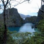 Mimaropa (Southwesten Tagalog Region) Mimaropa, previously known as the Southwestern Tagalog Region or Region IV-B is one of two regions in the country having no land border with another region (the other being Eastern Visayas). It is one of the busiest regions in terms of tourism. The name is an acronym combination of its… …
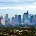 National Capital Region (NCR) The National Capital Region (NCR), also known as Metropolitan Manila, or Metro Manila for short, is the country’s political, economic, and educational center. The smallest region in the Philippines, it is the most densely populated region which is home to over 13 million Filipinos. The National Capital Region (NCR) is… …
Visayas
 Central Visayas (Region VII) Central Visayas (Region VII) consists of four provinces: (Cebu, Bohol, Negros Oriental, and Siquijor) and the three main cities of Cebu City, Lapu-Lapu, and Mandaue. The straits of Cebu and Tañon are also part of the region as well. It is bordered to the north by the Visayan Sea, west… …
 Eastern Visayas (Region VIII) Eastern Visayas (Region VIII) consists of three main islands, Samar, Leyte and Biliran. It occupies the eastern part of the Visayas island group and faces the Philippine Sea to the east. It has six provinces (Biliran, Leyte, Northern Samar, Samar, Eastern Samar, and Southern Leyte), one independent city (Ormoc) and… …
 Western Visayas (Region VI) Western Visayas (Region VI) is located in the western part of the Visayas island group with boundaries of the Visayan Sea on the east, the Cuyo East Pass on the west, the Sibuyan Sea and Romblon on the north and the Cagayan Island on the southwest. It is composed of… …
Mindanao
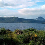 Bangsamoro (BARMM / Bangsamoro Autonomous Region in Muslim Mindanao) The Bangsamoro (the Bangsamoro Autonomous Region in Muslim Mindanao or BARMM) is an autonomous region located on the island of Mindanao in the southern Philippines. This region consists of five predominantly Muslim provinces Maguindanao, Lanao del Sur, Basilan, Sulu and Tawi-Tawi. It is the only region in the Philippines that… …
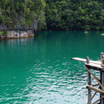 Caraga (Region XIII) Caraga (Region XIII or the Caraga Administrative Region) is made up of five provinces: Agusan del Norte, Agusan del Sur, Dinagat Islands, Surigao del Norte, and Surigao del Sur. It is bounded on the north by the Bohol Sea; on the south by the provinces of Davao del Norte, Davao… …
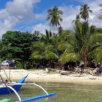 Davao (Region XI) Davao (Region XI) is made up of five provinces – Davao del Sur, Davao del Norte, Davao Oriental, Davao de Oro and Davao Occidental. The province of Compostela Valley was renamed to Davao de Oro in 2019, but still exists on some maps and official websites (such as the map… …
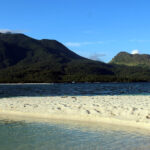 Northern Mindanao (Region X) Northern Mindanao (Region X) is made up of five provinces: Bukidnon, Camiguin, Misamis Occidental, Misamis Oriental, and Lanao del Norte. It is blessed with natural wonders: large, protected forests, clear mountain springs and waterfalls, white sandy beaches, coral reefs and sheltered bays rich with aquatic life. This peaceful region is… …
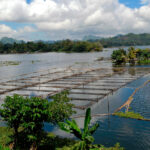 Soccsksargen (Region XII) Soccsksargen (Region XII) and sometimes locally shortened to just SOX is located in Central Mindanao. The name is an acronym that stands for the region’s four provinces and one of its cities: South Cotabato, Cotabato, Sultan Kudarat, Sarangani and the city of General Santos. The region was previously called Central… …
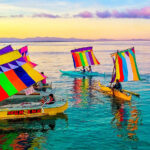 Zamboanga Peninsula (Region IX) The Zamboanga Peninsula (Region IX) consists of three provinces: Zamboanga del Norte, Zamboanga Sibugay and Zamboanga del Sur. It was previously known as Western Mindanao before the signing of Executive Order No. 36 of 2001. Sometimes referred to as the Diadem of the Philippine South, it comprises 958 islands and… …