Caraga (Region XIII)
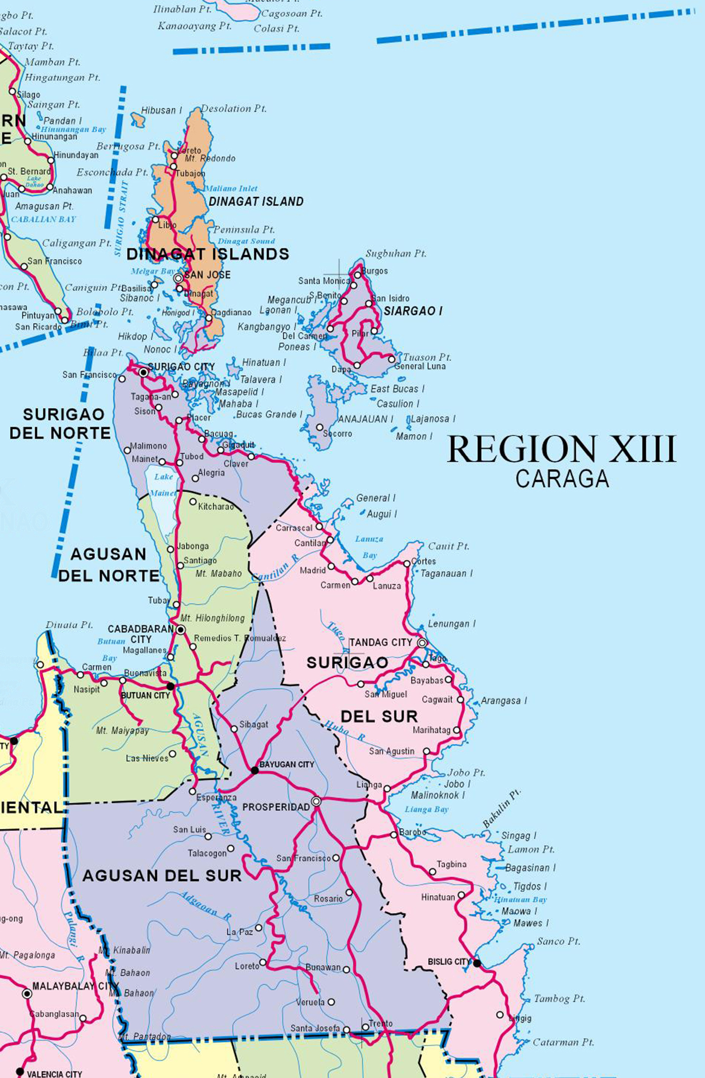 Caraga (Region XIII or the Caraga Administrative Region) is made up of five provinces: Agusan del Norte, Agusan del Sur, Dinagat Islands, Surigao del Norte, and Surigao del Sur. It is bounded on the north by the Bohol Sea; on the south by the provinces of Davao del Norte, Davao de Oro and Davao Oriental; on the west by Bukidnon and Misamis Oriental; and on the east by the Philippine Sea.
The region contains one of the last ecological frontiers of the Philippines. It is home to 12 Key Biodiversity Areas identified by Haribon Foundation and the Philippine Department of Environment and Natural Resources. It’s characterized by mountainous areas, flat and rolling lands. Mountain ranges divide Agusan and Surigao provinces and sub-ranges separate most of the lowlands along the Pacific coast.
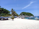
If you’re looking for the best in outdoor activities, you’ve come to the right place. Siargao, known as the “surfing capital of the Philippines” is rated as one of the top five surfing destinations in the world, including the “Cloud Nine”, one of the best. White-sand beaches ringed by coral reefs abound. Mangrove forests, mountain biking, trekking and cave exploration exist here too.
The province is host to a variety of marine ecosystems like the lush seagrass beds and coral reefs which are relatively healthy and intact, supporting a rich diversity of marine flora and fauna. Sea fishing is also abundant with over 23 different species being caught the whole year round. Marlin, tuna, lapu-lapu, mollusks, crabs, even squids, stingrays and octopuses can also be bought from fish vendors and fishermen.
Popular Destinations
Provinces
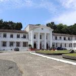 Agusan del Norte Province Coming soon. Popular Destinations Cities Other Agusan del Norte Province Related References Agusan Del Norte Provincial Capitol.jpg - Wikimedia Commons …
 Agusan del Sur Province Coming soon Popular Destinations Cities Other Agusan del Sur Province Related …
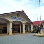 Dinagat Islands Province Coming soon. Popular Destinations Cities Other Dinagat Islands Province Related References Dinagat Islands Provincial Capitol.jpg - PICRYL …
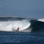 Surigao del Norte Province Coming soon. Popular Destinations Cities Other Surigao del Norte Province Related References Surfeur.jpg - Wikipedia Commons …
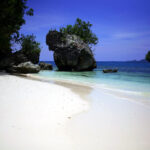 Surigao del Sur Province Coming soon Popular Destinations Cities Other Surigao del Sur Province Related References Casa Rica island at Cantilan, Surigao del Sur.jpg - Wikimedia Commons …
Cities
Other Carga Related
References
- National Mapping and Resource Information Authority: Philippine Administrative Map with West Philippine Sea
- Wikimedia: SUGBA LAGOON.jpg
- National Economic and Development Authority: About Caraga
- Department of Education: Caraga Region: Brief Profile
- Department of Trade and Industry: Profile of Caraga
